New global ocean mean dynamic topography improves the Arctic but only slightly elsewhere
CNES-CLS22 is a modest update to the previous global mean sea surface height map, with clear gains in the Arctic and Nordic Seas but little change globally and persistent problems on continental shelves.
Why it matters
Mean dynamic topography is needed to turn satellite sea level anomalies into absolute sea level and ocean currents. A better Arctic and Nordic Seas map helps track Atlantic Water pathways. The weak results on shelves show where better data and methods are still needed, for example as SWOT swath data arrive.
What they did
The team built a first-guess map from a new mean sea surface and the GOCO06s satellite geoid, with extra filtering near coasts. They then added small-scale detail from drifter velocities, temperature and salinity profiles, and HF radar currents in the Mid Atlantic Bight. These data were cleaned of wind-driven and other non-geostrophic signals and merged by objective analysis. They checked the result against withheld drifters and profiles, ship current data, and published circulation patterns.
Key findings
- The new map covers the Arctic and removes artifacts found in CNES-CLS18. It also lines up better with the sea floor at the Yermak Plateau and the St. Anna Trough.
- It resolves the Norwegian Atlantic Front Current along the Mohn Ridge, which earlier versions did not. The speed difference reaches up to 4 cm s−1.
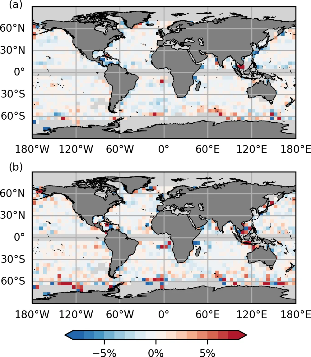
- Globally the gain is small. Velocity errors against drifters fall by only about 0.2 %–0.5 %, and variance against profile heights falls by 0.5 % on average.
- In the Faroe-Shetland Channel the new map does worse. It gives a net northward transport of 5.5 Sv, against 2.9 Sv for CNES-CLS18, which matches ship current data well.
- Below about 40 km the signal may hold noise from in situ data, which could add unrealistic kinetic energy.
Limitations
- On continental shelves, including the Mid Atlantic Bight, map contours still cut the coast, implying unrealistic currents. This holds even with HF radar data.
- Validation data are uneven. Drifters are sparse in the Arctic and Southern Ocean, and only about 2 % of the profiles were used for validation.
- Reliability depends on data coverage, so users should be careful where observations are scarce. Model-based comparisons are also not absolute truth.
Glossary
- Mean dynamic topography (MDT): The long-term average height of the sea surface relative to the geoid, which reflects ocean currents.
- Geoid: The surface of equal gravity potential that the ocean would follow if it were at rest.
- Geostrophic current: A current in balance between the pressure gradient from sea surface slope and the Earth’s rotation.
- HF radar: Shore-based radar that measures surface currents over coastal waters.
Original paper
New global mean dynamic topography CNES-CLS-22 combining drifters, hydrography profiles and high frequency radar data
Earth System Science Data · 27 March 2026
AI-generated summary of the original article; changes were made. Check the original before relying on it.